


")


")
Charalampos Georgiadis is member of the work package WP3 that addresses mapping of coastal zones.
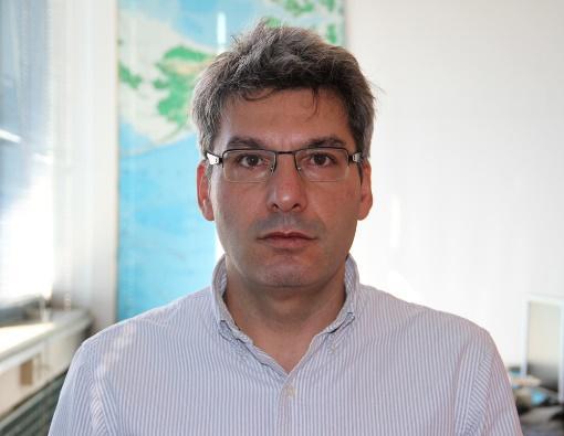 He is an Assistant Professor at the School of Civil Engineering in the Aristotle University of Thessaloniki. 1997, Diploma Rural and Surveying Engineering (AUTH), 2000, M.sc. Potection, Preservation, and Restoration of Cultural Monuments (AUTH), 2005 PhD Department of Spatial Information Science and Engineering (University of Maine, USA).
His research interests include among others Photogrammetry, Remote Sensing, Cartography, GIS, UAV, Mobile Mapping Systems, 3D modelling, laser scanners, Image processing and analysis, Spatial data analysis. Scientific Responsible or member of research groups in 47 Research projects Funded by National, European or USA Organizations. Scientific reviewer in 12 Journals.
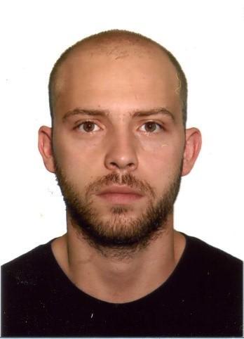
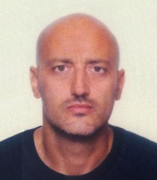
George-Robert Patias is member of the work package WP3 that addresses mapping of coastal zones.
 He holds a degree in Mechanical Engineering (AUTH, GR, 2011) and a MSc degree in Sustainable Energy Technology (University of Twente, NL, 2014). He has worked as an engineer (Envita Almelo B.V. NL, Emisia S.A. GR) and has a broad experience in participation of EU funded research (total of 14 projects). Co-author of EEA Report No 5/2019, ETC/CME Report 9/2019.
Anastasios Stamnas is member of the work package WP3 that addresses mapping of coastal zones.
 He obtained a Diploma in School of Rural and Surveying Engineering, Faculty of Engineering, Aristotle University of Thessaloniki (AUTh), Greece (2003), a Diploma in School of Architectural Engineering, Faculty of Engineering, Democritus University of Thrace (DUTh), Greece (2011), a M.Sc. in Protection, Preservation, and Restoration of Cultural Monuments, Interdepartmental Post Graduate Programme, Department of Architecture, Faculty of Engineering, Aristotle University of Thessaloniki (AUTh), Greece (2006), a PhD From Department of Cadastre, Photogrammetry and Cartography, School of Rural and Surveying Engineering, Faculty of Engineering, Aristotle University of Thessaloniki (AUTh), Greece (2013). Since 2019, he is a postdoctoral researcher in School of Rural and Surveying Engineering (AUTH). His research activities include Photogrammetry, Remote Sensing, Geographic Information Systems, Laser Scanning and 3D Modeling.